Welcome to the Bluespaces Mapping Portal!
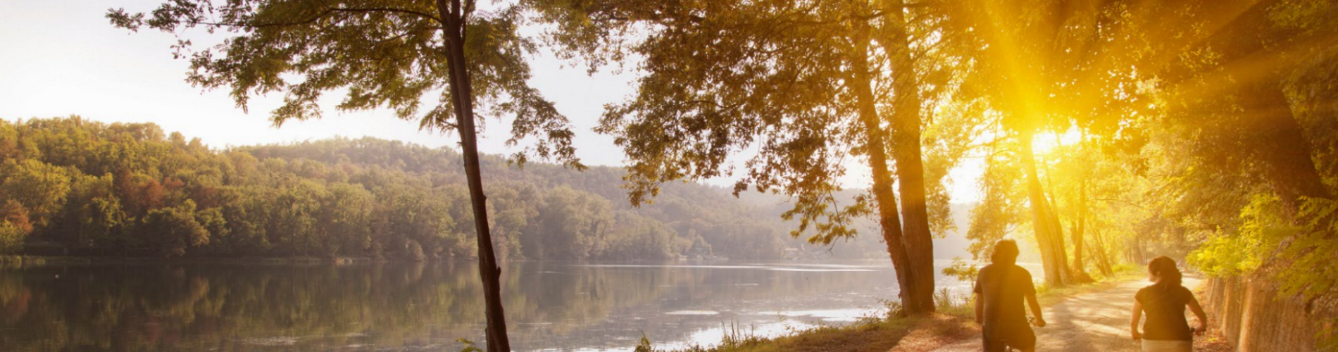
We need your help to gather information on the water environment in our regions, so we can develop our plans to support, drive, and deliver ‘above and beyond’, customer-focused improvements to bluespaces.
The aim of these mapping portals is to capture, identify and display partnership opportunities and improvements to bluespaces.
For more information on the scheme and the types of improvements we can support, please see the ‘Our Approach’ section.
To add projects and opportunities, please select the portal for your area below.
We have drawn together catchment information to help partners understand where there might be opportunities.
Please use the plus icon in the top right-hand corner of the portal to add your own bluespaces opportunities for us to consider.
You may add project information as a point, line or polygon.
Once the shape has been created please complete the information boxes.
After submission NWG will review this information and request further details if necessary.
For best performance please use the portal on a laptop or desktop device. If you need help adding projects and opportunities or would like to send additional information and attachments contact us at bluespaces@nwl.co.uk