Field to Tap funding covers a variety of infrastructure, field options, training and innovation to improve water quality. Below are some examples of funding delivered.
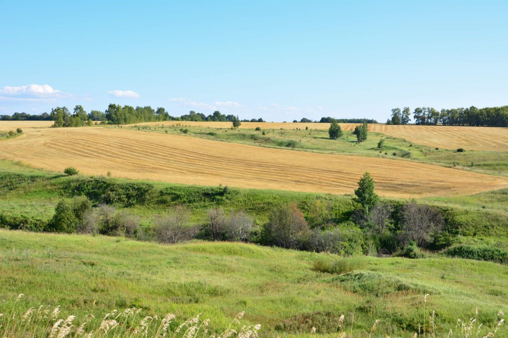
Funding to aid the transition from intensive arable to introduction of cattle with the view to improve soil health.
This included funding towards electric fencing, herbal leys and water trough placement, all measures help protect drinking water quality.
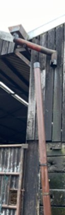
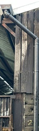
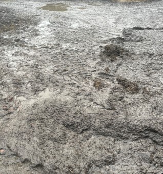
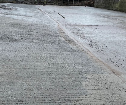
Funding to improve clean and dirty water separation in the farm yard, helping to reduce run off in to the nearby watercourse used for abstraction.
Funding contribution towards downpipe repair and concrete yard area including sediment traps.